 |
| Borders |
|
| |
| The table below provides links to materials which are relevant and applicable across all of the courseware in this program. For ease of access, this table is reproduced on every page of each lesson. |
| |
|
| |
|
| Physical Borders |
The table to the right provides access to the maps used in this module.
Each module in this lesson will have an atlas of the maps used in the module like this. By clicking on one of the links you can get a large version of each of the maps.
The CIA World Factbook www.cia.gov/the-world-factbook has lots of information including maps and data about all of the borders and neighboring countries in the world.
|
Maps
|
|
|
| The three maps immediately following show the borders of the United States. Most of the border is coastline, approximately 95,000 miles and waterways, 10,000 miles. To the north, the US is bounded by Canada and to the south, Mexico. The nature of these borders and their operation are dramatically different. |
| |
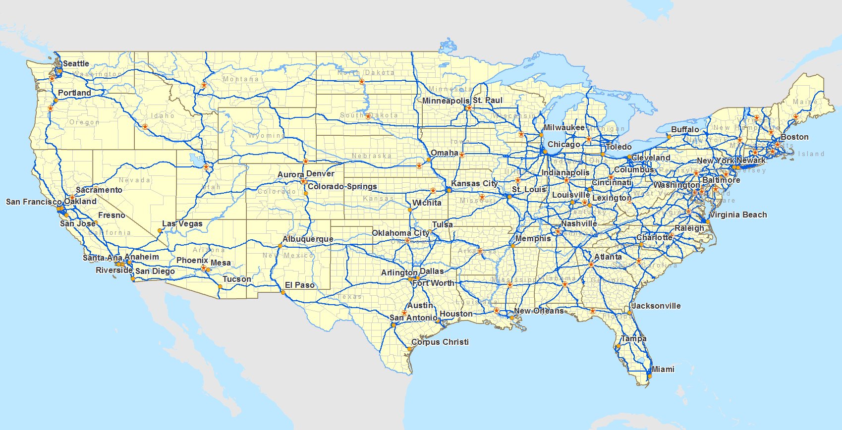
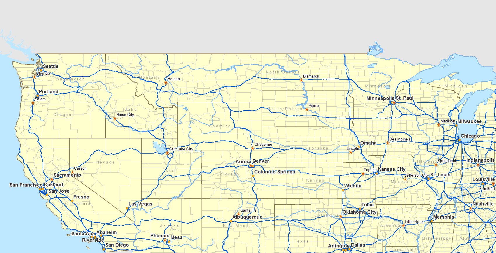
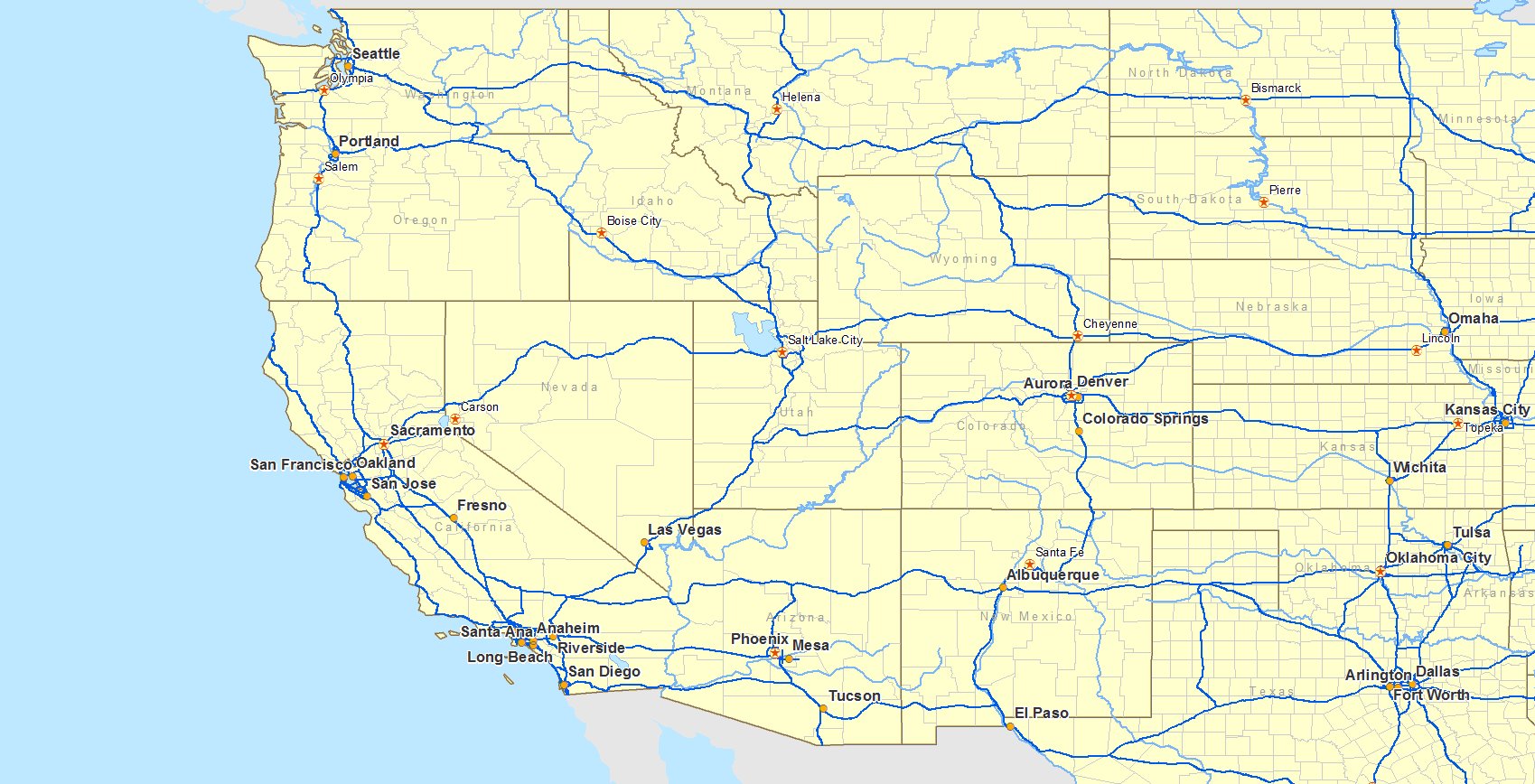
| Continental United States |
 |
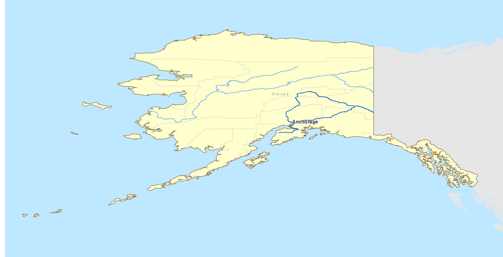
Alaska
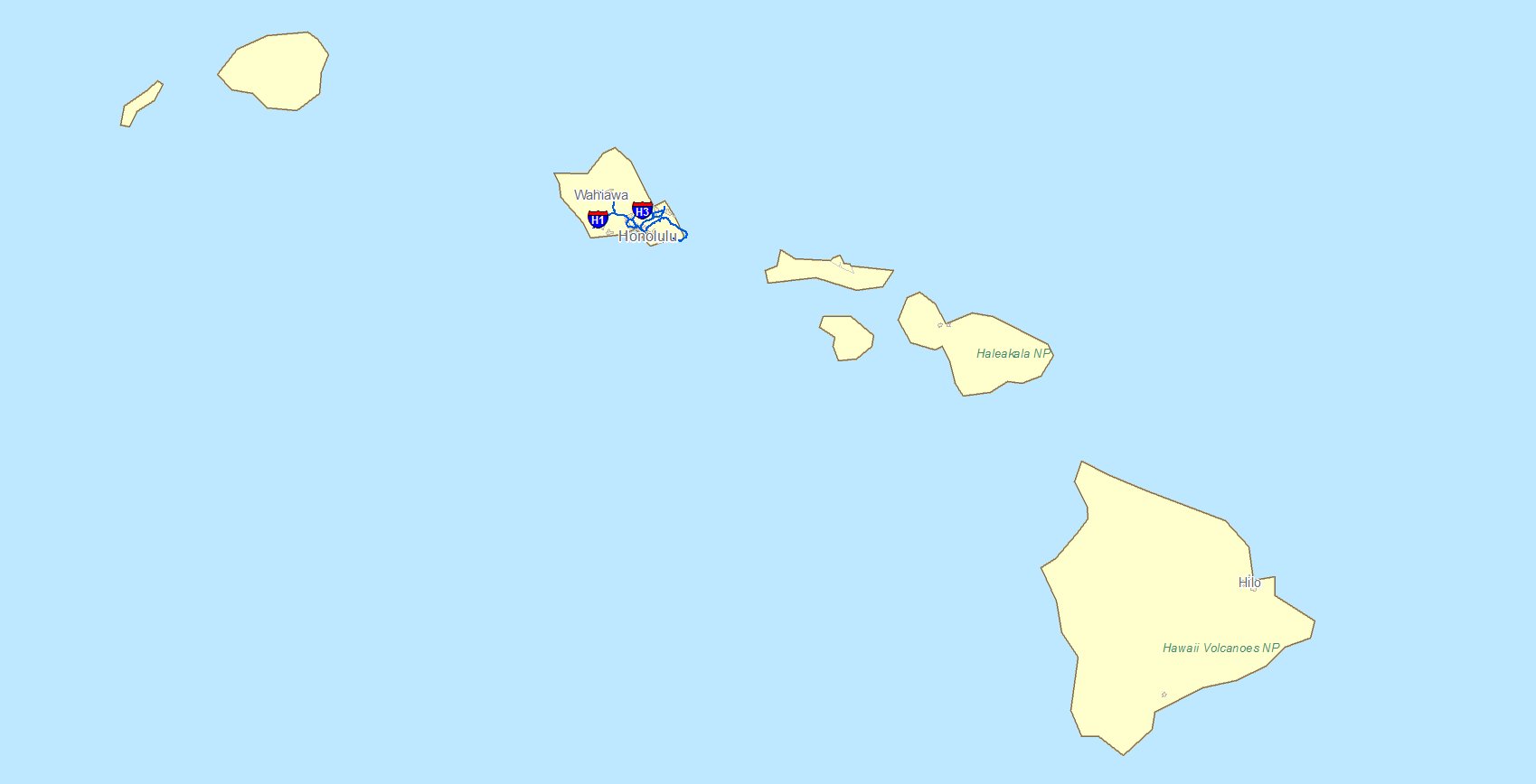
 | Hawaii
 |
|
|
US - Canada Border
The next three maps detail the border of the United States and Canada. This border is relatively tranquil. Some of the reasons for this are:
- Common language - English
- Shared history - Both were former British colonies. Their settlers came here for the same reasons.
- Cooperation - The countries have a long track record of mutual collaboration.
- They were allies in numerous wars.
- They share defense responsibilities through the North American Aerospace Defense Command (NORAD).
- They are significant trade partners.
- They collaborate on emergency preparation. See the Agreement Between the Government of Canada and the Government of United States of America on Cooperation in Comprehensive Civil Emergency Planning and Management, 28 April 1986. See the Cross-Border Emergency Response Guide (3rd Edition), 2007.
- The Royal Canadian Mounted Police and the US Customs and Border Patrol Jointly patrol the border.
- Economic Parity - The standards of living in the two countries are roughly the same.
|
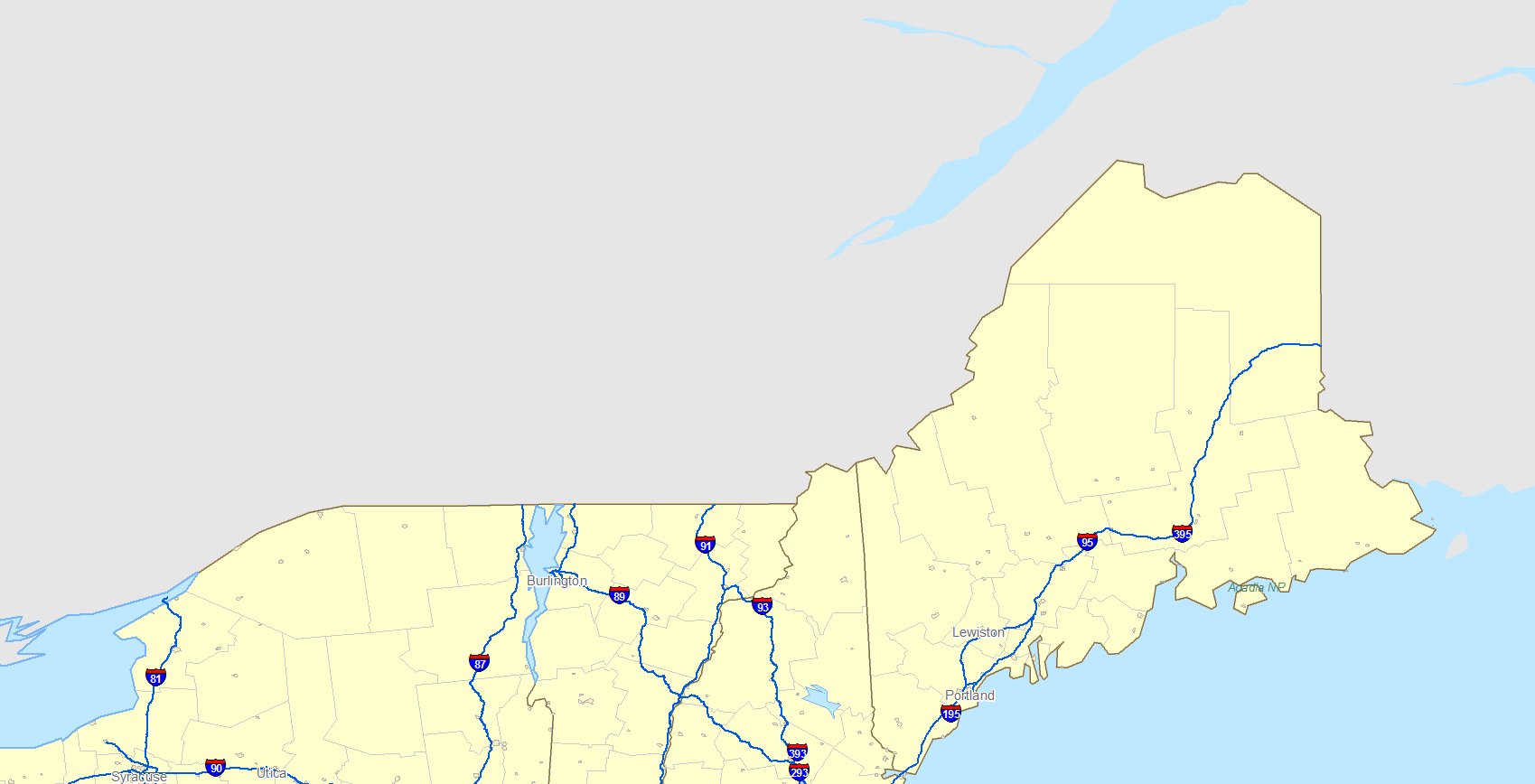
Northeastern Border
 |
| |
Northern Border
 |
| |
Great Lakes Region
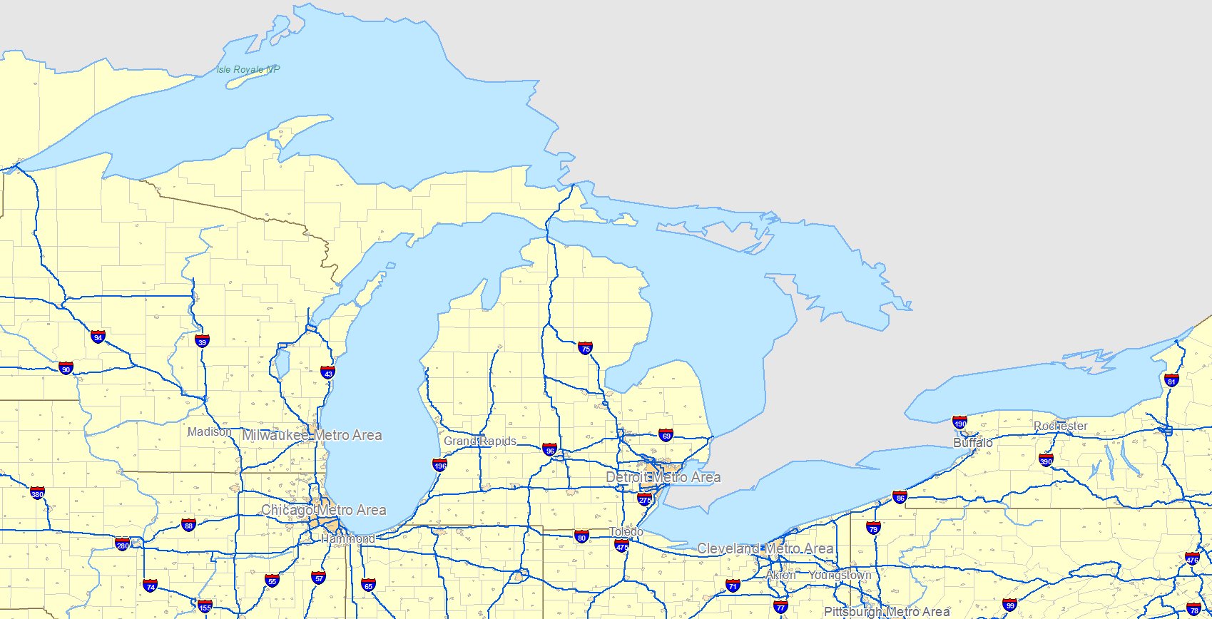 |
|
|
|
US - Mexico Border
The next map details the border of the United States and Mexico. This border area experiences crime, conflict and illegal immigration. Using the same framework, some of the reasons for this are:
- Different language - English/Spanish
- Shared history - The US was a former British colony. Mexico was a Spanish territory.
- Cooperation - The countries have fought a war with each other. Drug trafficing and immigration is tolerated by Mexican Police and military.
- Economic Parity - The standards of living in the two countries are dramatically different. Much of the Mexican population is poor.
For these reasons the border with Mexico is in turmoil.
According to AskMen.com www.askmen.com nearly 400 people die along the US – Mexican border each year. Smuggling of weapons, drugs, people and other commodities is a serious problem.
The Associated Press reports that the number of illegal immigrants in the United States has grown to as many as 12 million, and they now account for about one in every 20 workers. Many poor Mexicans are trying to flee the poverty and violence.
The Mexican border is a serious security concern for the United States. It's great length of approximately 2000 miles through rugged terrain is difficult to patrol. Some have suggested erecting a border fence to make penetration more difficult.
Terrorists could easily smuggle themselves of weapons of mass destruction across the border using one of the well established routes.
|
| |
Mexican Border
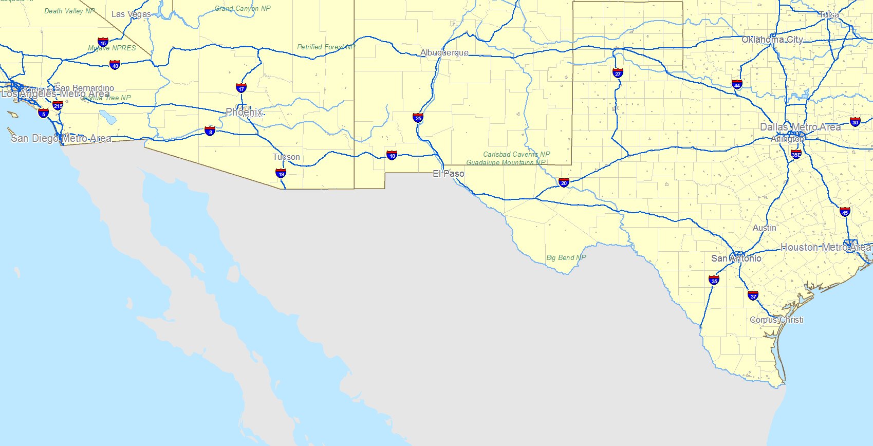 |
|
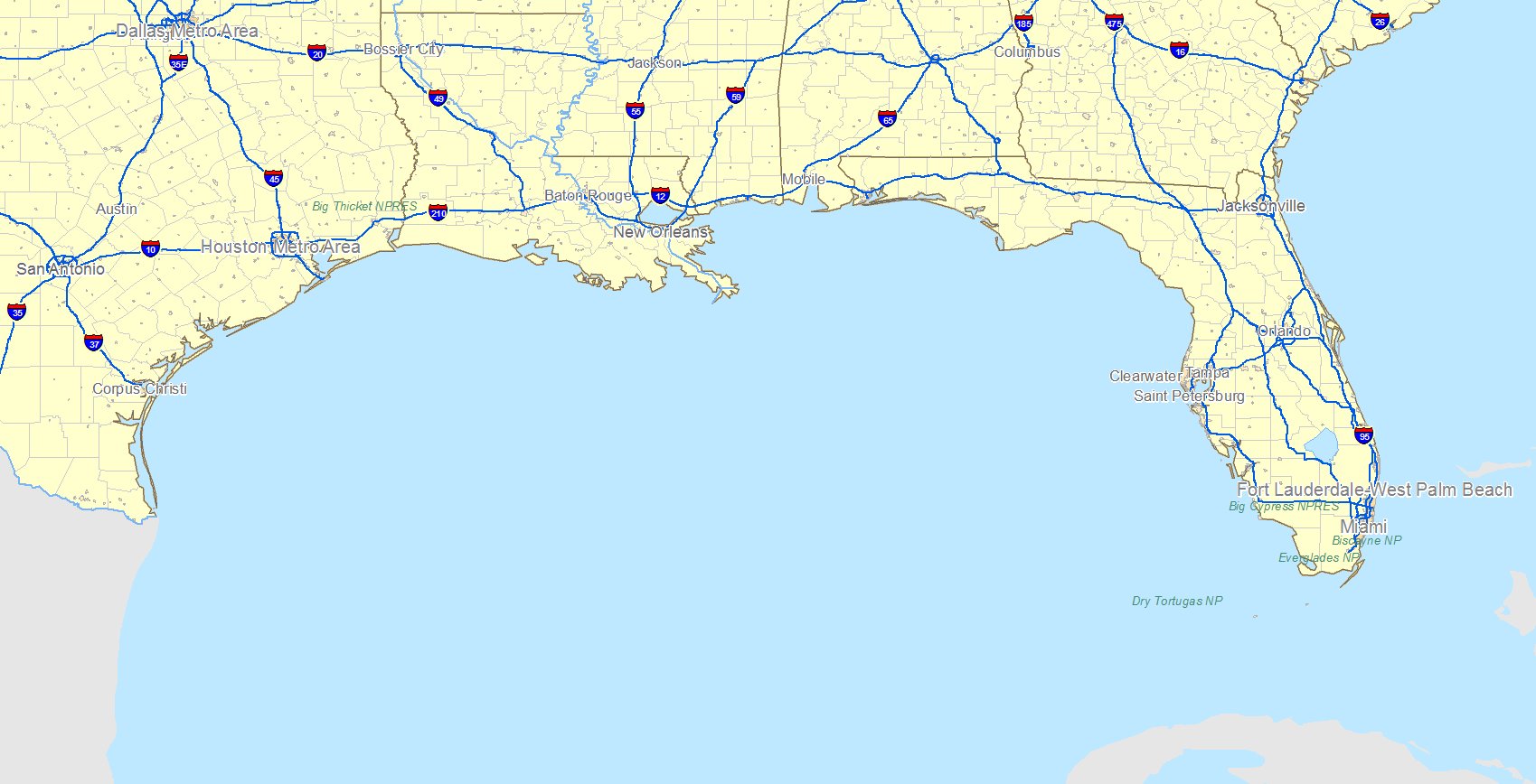
US Coasts
As we said previously, the coast lines of the United States are about 95,000 miles long. Most of the coast is beach or marsh areas that are lightly patrolled. Where some rivers reach the coast, ports have been established for trade and traavel. Each day, thousands of private fishing vessels leave costal locations to ply their trade, returning that same day or within a few days. Ports will be discussed in the next module. |
East Coast
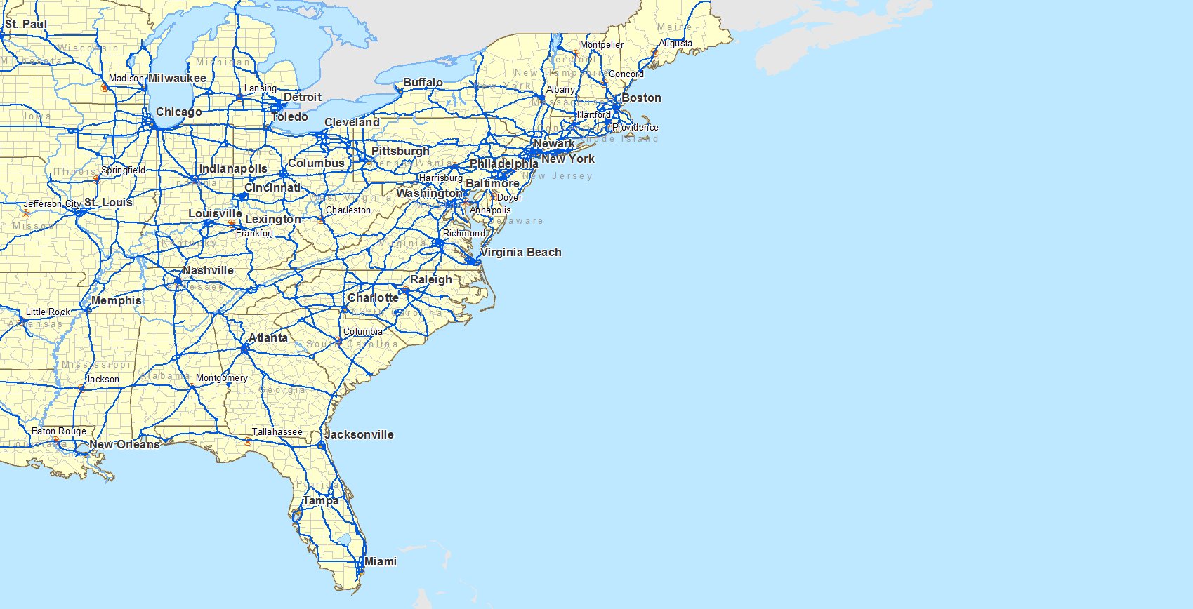 |
| |
West Coast
 |
| |
Gulf Coast
 |
| |
| Exercise: |
Use the framework developed above (Language, History, Cooperaation, and Economics) to compare two other bordering countries. Extend the analysis framework to other dimensions (e.g. Religion). |
|
| |
|
|
|
|
|
| Copyright © 2011, 2024 Ken Sochats |