
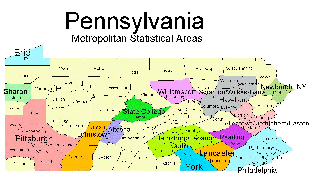
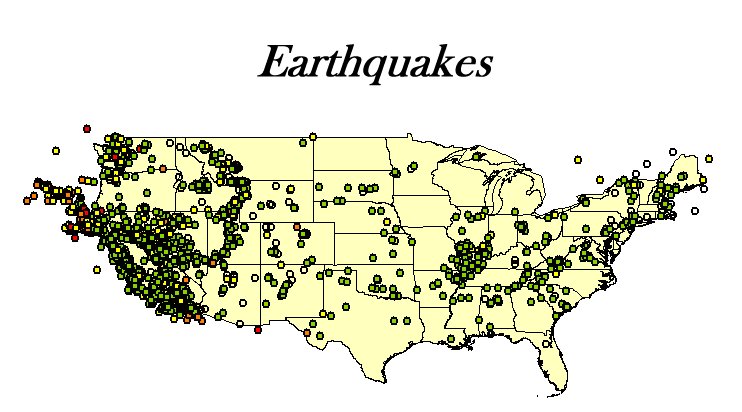
- Simple Maps - Thematic, geographic, topographical, etc.
- Map Analysis - buffers, markets, proximity, business and other analyses.
- Animation - full motion, route following, time changes.
- Other Spatial Applications - plants, buildings, abstract, and virtual spaces.
- Embedded Mapping - We can embed GIS capabilities into your application. Information can flow between your application and the GIS.
- Imaging - Satellite and aerial photography, LIDAR, infrared.
- Web Mapping - We can integrate mapping systems such as Google Maps, ArcGIS and other commercial systems into your web application
 |
 |