 |
| Etna Flooding Case Study |
|


|
    
|
|
| |
| 2004 Etna Flood |
| |
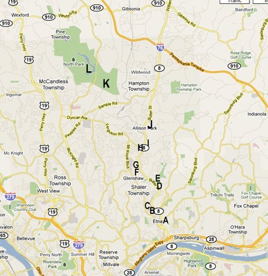
| The map below shows the path of Pine Creek and its tributaries paralleled by Route 8. We are going to point out aspects of the 2004 Etna Flood by essentially walking along Pine Creek and Little Pine Creek and documenting the points with pictures. The map below is a guide to where the pictures were taken. The sequence goes from Picture A in Etna upstream to Picture K at North Park Lake. You can use the Google browser to follow along in parallel on a map. If you right click on this link and select "Open in New Window" the browser will open in a separate window which will allow you to proceed with both the lesson window and Google window open. |
| |
 |
| |
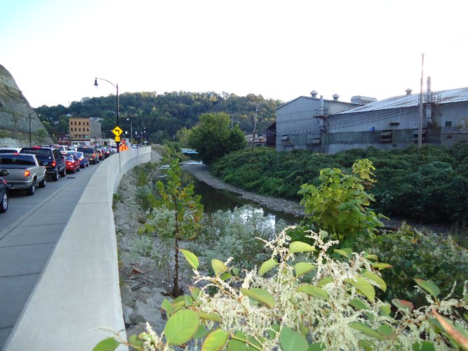
| A: Mae West Bend |
| |
| This picture was taken at a point looking south along Route 8 in Etna known locally as the "Mae West Bend" because of its curves. As one can see, there is a barrier along the right side of the road. This barrier was installed after the 2004 floods. As I was passing along this point, the water was about a foot high on the road. The factory to the right was partially under water and at a restaurant behind the factory "The Blarney Stone" the water reached the second floor. Note that the barrier would not function as a water barrier. Any precipitation that would fall would fall on both sides of the barrier and runoff from the hill on the left of the road would flow onto the road. If the creek water level reached the road level the water would back up through the storm drains onto the street. The major function of the barrier would be to prevent debris carried by the creek from reaching the road in those cases where the water level is lower than the top of the barrier. |
| |
 |
| B: Creeks Merge |
| |
| This picture shows Pine Creek just as it enters Etna. The photo was shot looking south (downstream) toward Pittsburgh. A Pine Creek tributary merges to the left. |
| |
 |
| C: Pine Creek Barrier |
| |
| This picture was taken by turning around from the previous picture ( looking north upstream). The picture shows a barrier that was erected after the 2004 flood across the stream to prevent large objects like cars from being swept downstream where they may cause water blockage at overpasses and other locations. The Burger King in the background had water about six feet high in its interior. |
| |
 |
| |
| D: Shaler Giant Eagle Parking Lot |
| |
| This picture (south/downstream) was taken in the old Giant Eagle parking lot. It shows the "normal" flow of Pine Creek. |
 |
| |
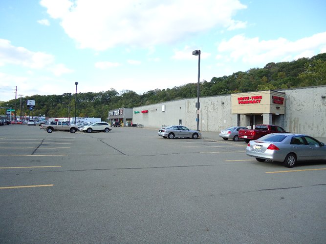
| E: Shaler Giant Eagle |
| |
This picture was taken at the same place as the prvious picture. The direction is opposite. The picture shows the old Giant Eagle in Shaler. (The grocery store has since been torn down). The flood water rose to approximately half way up the wall.
An important point to note here is that the store contained thousands of pounds of food, cleaning supplies and other materials that made their way into the flood waters. we noted previously the Burger King. In fact, there were a dozen restaurants along Route 8 that were flooded. Flood waters typically become polluted with chemicals and animal and vegetable matter. These floods should be treated as hazardous material incidents. |
 |
| |
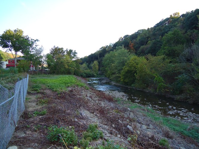
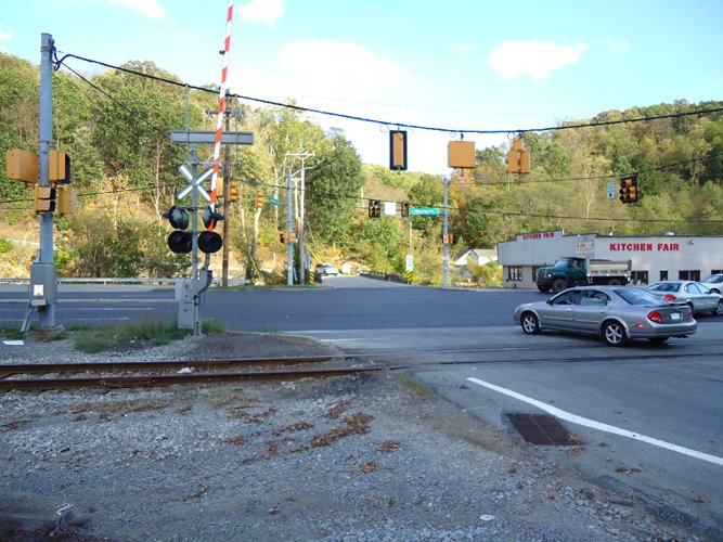
| F: Elfinwild Road Intersection |
| |
| This picture shows the intersection of Route 8 and Eldinwild Road. This picture is significant because it shows the colocation of several critical infrastructure elements. At this point Pine Creek (opposite), two roads, railroad lines, electricity, telephone, cable, water lines, gas lines, sewage and drainage occupy a very small footprint. In 2004, this point was under 4 feet of water and many of the infrastructure components (lines, poles, etc.) were damaged. |
| |
 |
| |
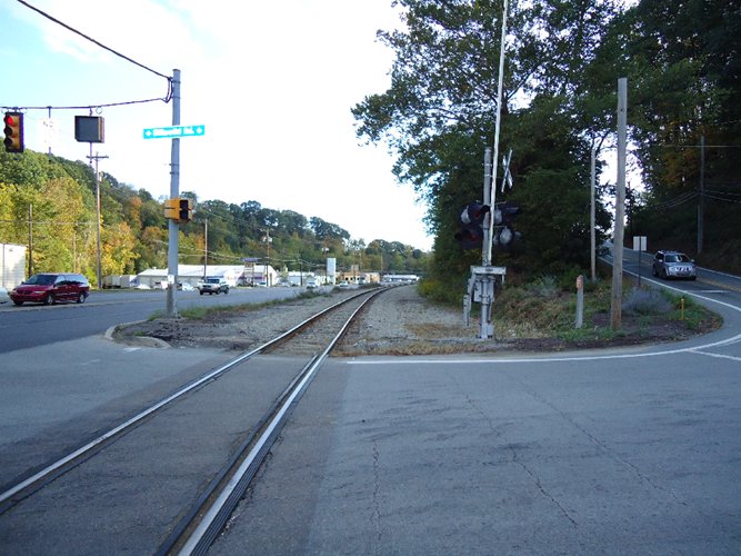
| G: Elfinwild Road Rail Lines |
| |
| This picture was taken at the same spot but aimed more to the south. As you can faintly see in the road, there were two rail lines at this point. The force 2004 flood ripped up the lines and twisted them into pretzel-like figures. Only one line was salvaged. |
| |
 |
| |
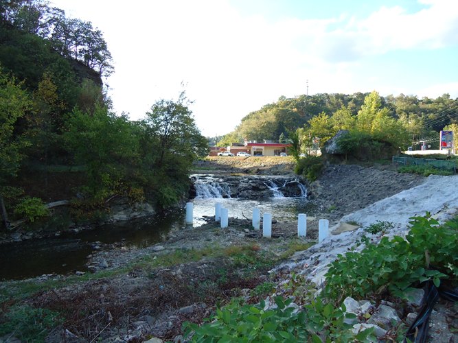
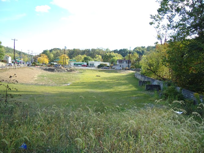
| H: Duncan Avenue Holding Pond |
| |
| In this picture taken at Routee 8 and Duncan Avenue, Pine Creek passes to the right just beyond the frame. At this point were a lumber yard and several stores. As you can see now, they are all gone. The land was purchased using a FEMA grant and turned into a holding pond. Lumber, paint, solvents, poisons, fertilizers and other material werre swept downstream. The BP gas station was also flooded adding oil, gas and other automotive materials to the stream. |
| |
 |
| |
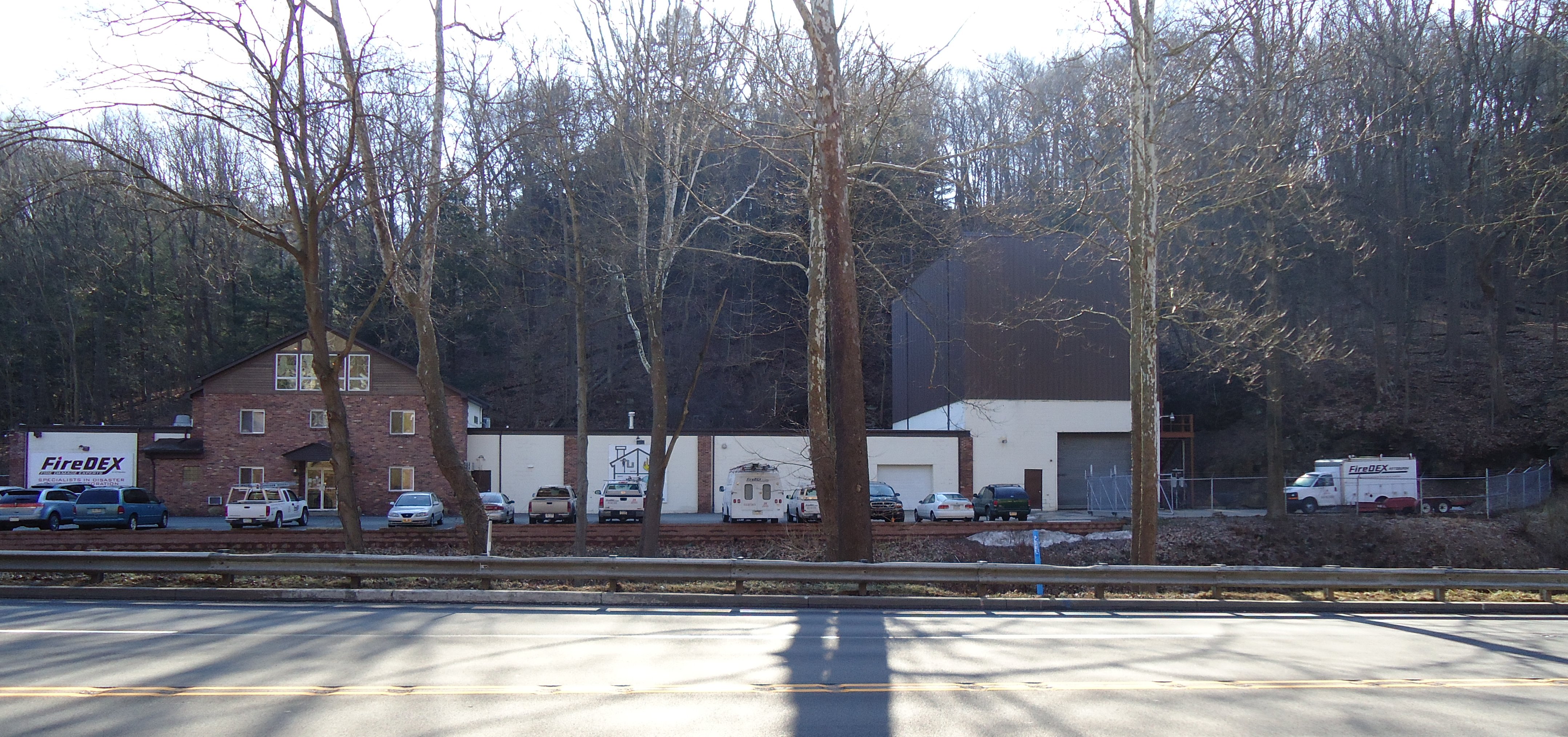
| I: FireDex |
| |
|
At this location was a very large 30 cubic yard dumpster measuring approximately 6 feet wide by 6 feet high by 22.5 feet long. That dumpster was swept away by the flood waters and was never recovered. To this day its whereabouts are unknown. |
 |
| |
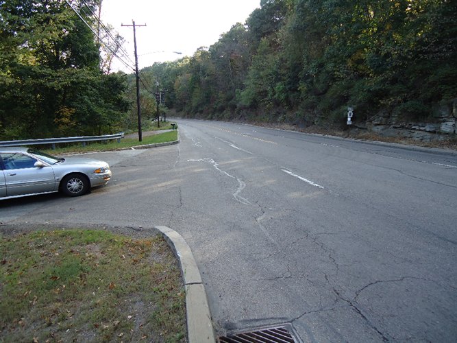
| J: Talley Cavey Hill |
| |
| Shown is part of Route 8. At the beginniing of the 2004 flood your instructor was driving down this hill to go to Pittsburgh. I was one of the last cars to get through. The storm was already overflowing the storm drains and about a foot of water was on the road. As I was passing this point, a 30 foot tall tree, roots and all, washed off the hill and passed me still standing perfectly erect. |
| |
 |
| |
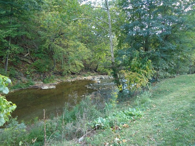
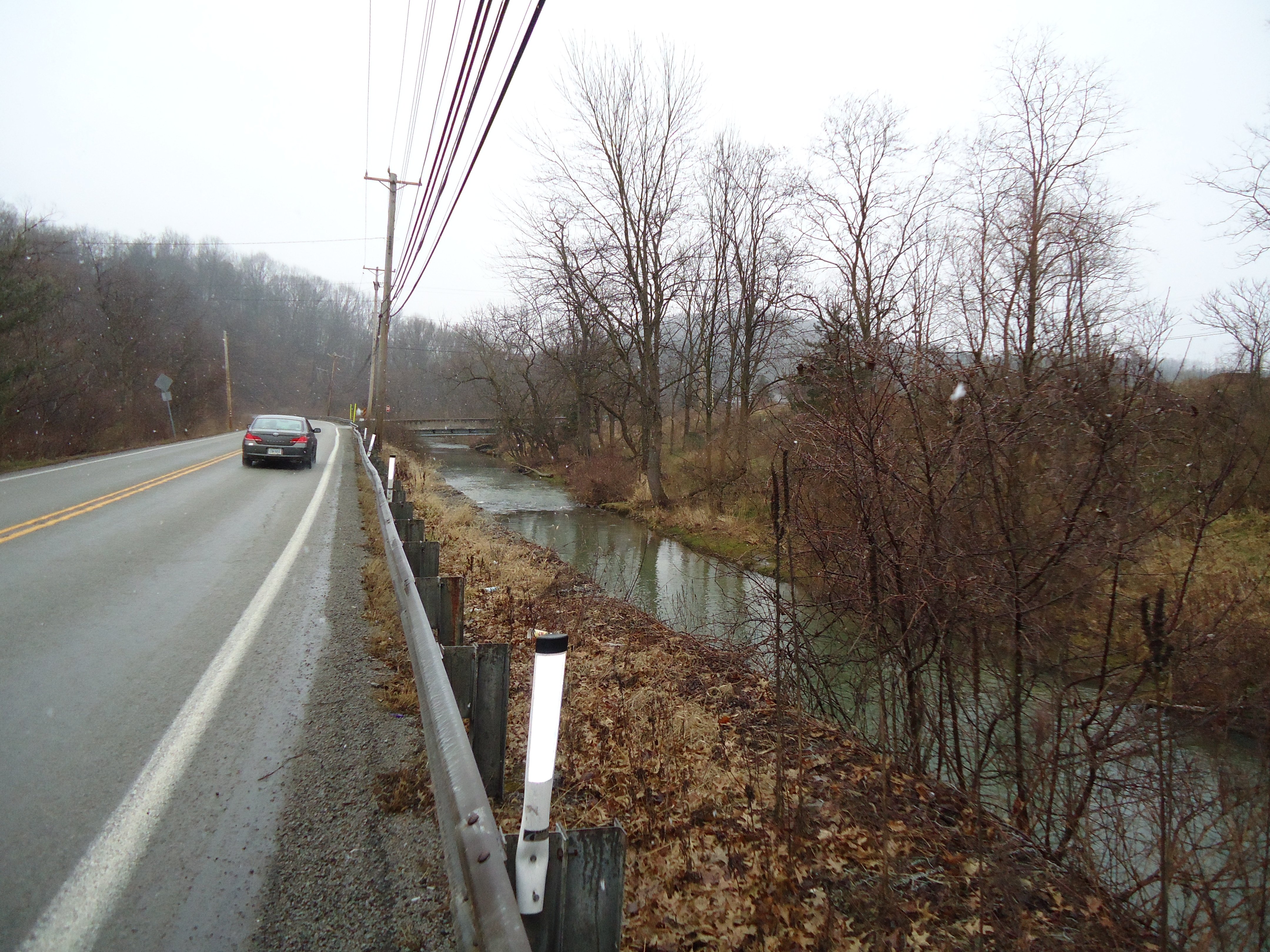
| K: Little Pine Creek |
| |
| This photo shows Little Pine Creek a tributary to Pine Creek. At this point we are about 400 feet higher elevation than Etna. During the 2004 flood, localized flooding covered this road with 3 feet of water. |
| |
 |
| |
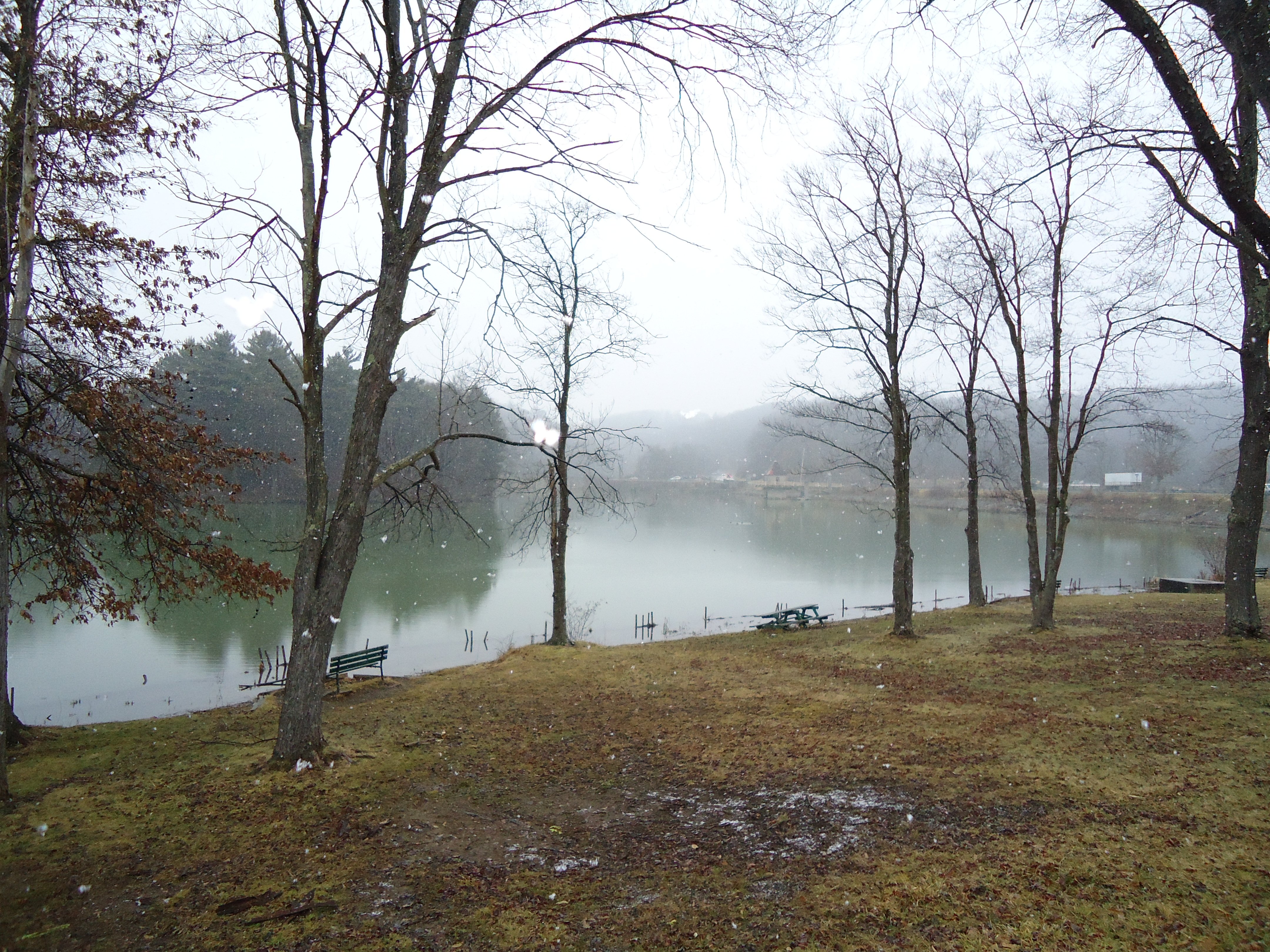
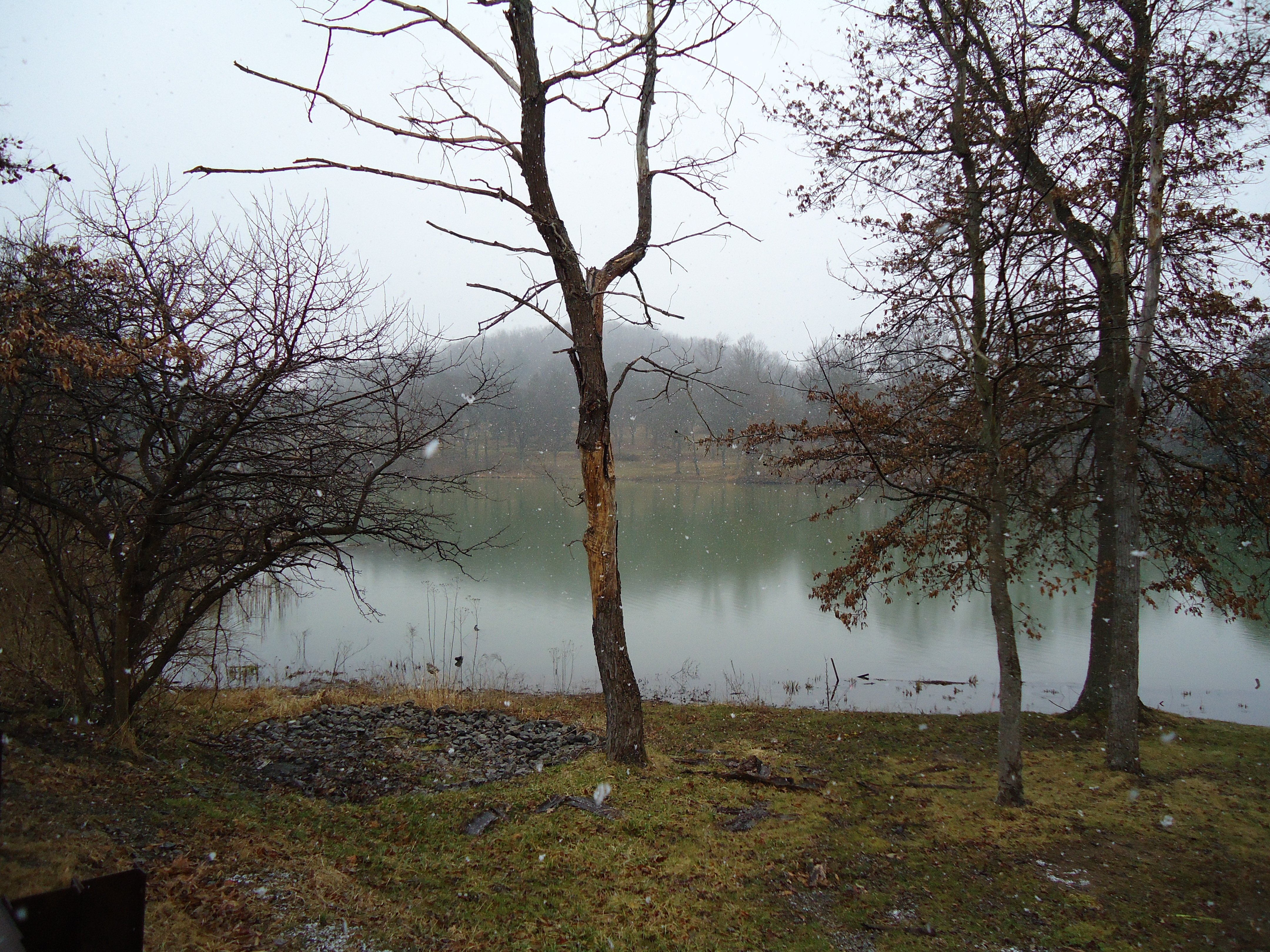
| L: North Park Lake |
| |
| This picture shows North Park Lake. The lake is at the far end of the Pine Creek watershed. This is an artificial lake used for recreational purposes. The lake was recently dredged to increase its holding capacity. |
| |
 |
| |
 |
| |
|
| |
|
| |
|
|
|
|
| Copyright © 2011 - 2014 Ken Sochats |